Hurricane Polo Mexico: Latest Updates on Flooding, Winds and Landfall
Hurricane Polo is threatening Mexico’s Pacific coast with destructive winds, heavy rainfall and potentially life-threatening flooding as authorities prepare communities in Baja California Sur for the storm’s arrival.
As of September 28, 2026, Polo was a powerful Category 3 hurricane with maximum sustained winds near 115 mph. Forecasters expected the storm to approach Baja California Sur and make landfall Monday evening.
Residents in vulnerable coastal areas have been urged to take precautions as strong winds, high waves and flooding begin affecting parts of northwestern Mexico.
Where Is Hurricane Polo Heading?
Hurricane Polo has been moving toward the Baja California peninsula after spending several days over the eastern Pacific Ocean.
Baja California Sur is expected to experience some of the storm’s most dangerous conditions, particularly communities near Polo’s projected path.
Areas including Loreto, Ciudad Constitución and smaller coastal towns have been preparing for strong winds and flooding.
After crossing Baja California Sur, the storm or its remnants could move toward mainland northwestern Mexico, potentially affecting parts of Sonora.
Forecasters have warned that rainfall could continue even after Polo weakens, creating additional flooding risks.
How Strong Is Hurricane Polo?
Polo has experienced significant changes in intensity.
Earlier in its development, the hurricane reached Category 5 strength over the eastern Pacific before weakening as it approached northwestern Mexico. By September 28, it was classified as a Category 3 hurricane with sustained winds around 115 mph.
Even though the hurricane has weakened from its peak intensity, a Category 3 hurricane can still cause serious damage.
Strong winds may damage roofs, trees, power lines and other infrastructure.
Residents should therefore not assume that a weakening storm means the danger has passed.
Heavy Rain Could Trigger Flash Flooding
One of the biggest concerns surrounding Hurricane Polo is rainfall.
Forecasters have warned that some areas could receive approximately 6 to 12 inches of rain, particularly in regions close to the storm’s path.
Heavy rainfall over a short period can cause rivers and drainage systems to overflow.
Possible impacts include:
- Flash flooding
- Mudslides
- Flooded roads
- Damage to homes
- Transportation disruptions
- Power outages
- Dangerous travel conditions
Mountainous areas can be especially vulnerable because heavy rain may loosen soil and trigger landslides.
Authorities are advising people to avoid flooded roads and follow local evacuation instructions.
Coastal Communities Prepare for the Storm
Communities across Baja California Sur have been preparing businesses and homes ahead of Hurricane Polo.
In Loreto, residents were seen preparing as winds strengthened and weather conditions deteriorated on September 28.
Some businesses have boarded windows, while access to certain beaches has been restricted because of dangerous surf.
Emergency shelters have also been prepared for residents who may need to leave vulnerable homes.
More than 78 people had already been evacuated from affected locations as officials responded to increasing risks from the hurricane.
High Waves Create Additional Danger
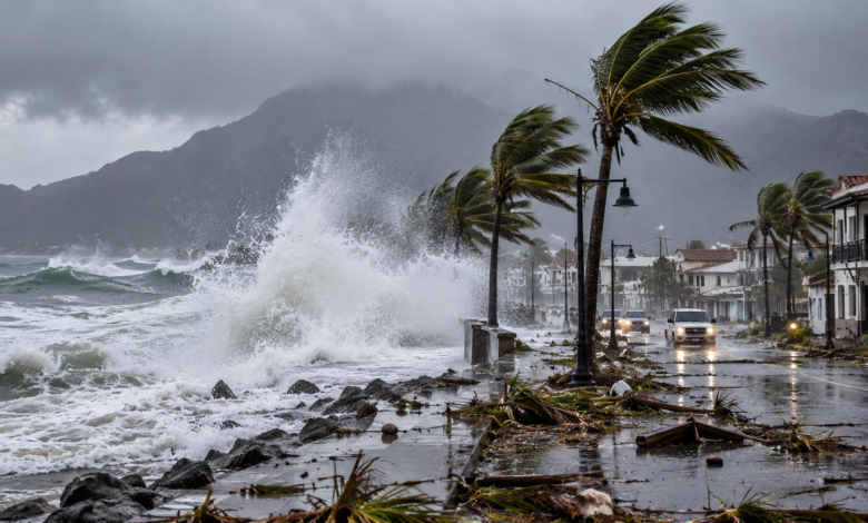
Hurricane Polo has also generated powerful waves along Mexico’s Pacific coast.
High tides and large waves have already contributed to flooding in some coastal communities.
Reuters images from San Blas, Nayarit, showed high waves affecting coastal areas as Polo moved through the region.
Even locations far from the hurricane’s center can experience dangerous ocean conditions.
Beachgoers and boat operators should be aware of hazards including:
- Strong rip currents
- Coastal flooding
- Large breaking waves
- Dangerous boating conditions
- Rapidly changing tides
People are generally advised to stay away from exposed beaches while hurricane conditions remain nearby.
Could Sonora Also Be Affected?
Baja California Sur is not the only region facing possible impacts.
After moving across the peninsula, Polo could approach southern Sonora, bringing another period of heavy rainfall.
A second landfall or movement across mainland Mexico could increase flooding risks in northern and northwestern parts of the country.
The exact impacts will depend on Polo’s track and how quickly it weakens after interacting with land.
Even a weakened tropical system can produce significant rainfall.
That means communities farther inland may still face problems after the strongest winds have disappeared.
Could Hurricane Polo Affect the United States?
Moisture associated with Hurricane Polo could eventually move into parts of the southwestern United States.
Forecasters are watching the possibility of increased rainfall across areas including Arizona, New Mexico and other western states.
CBS News reported that moisture from Polo could increase heavy rain and flooding risks across parts of the U.S. Southwest after the system moves through Mexico.
The storm itself is expected to weaken significantly before reaching those areas, but tropical moisture can travel hundreds of miles inland.
This means flooding can sometimes remain a concern long after a hurricane has lost its original strength.
Mexico’s Active Pacific Hurricane Season
Polo is part of an active period of tropical weather in the eastern Pacific.
Tropical Storm Rachel has also developed off Mexico’s Pacific coast.
Rachel is expected to strengthen, although current forecasts suggest the system could remain offshore and does not currently pose the same immediate land threat as Polo.
The presence of multiple tropical systems highlights how quickly conditions can change during hurricane season.
Residents across Mexico’s Pacific coastline should therefore continue monitoring official weather updates.
What Should Residents Do During Hurricane Polo?
People living in areas affected by Hurricane Polo should follow instructions from Mexico’s emergency and civil protection authorities.
Basic hurricane safety measures include:
- Stay indoors during dangerous winds.
- Keep away from windows.
- Charge mobile phones and backup batteries.
- Keep drinking water and essential food available.
- Prepare flashlights in case electricity fails.
- Avoid driving through floodwater.
- Move to higher ground if flooding threatens.
- Follow evacuation orders immediately.
- Monitor official weather warnings.
Floodwater can sometimes appear shallow while hiding strong currents or damaged roads underneath.
Drivers should never attempt to cross roads covered by fast-moving water.
Why Hurricanes Remain Dangerous After Landfall
The greatest danger from a hurricane does not always end when the center reaches land.
Heavy rainfall can continue for hours or even days.
Flooding may also develop after the strongest winds have weakened, particularly as water moves downstream from mountains and rivers.
For Hurricane Polo, flooding and mudslides are among the most serious concerns.
Emergency officials are therefore expected to continue monitoring affected areas even after the storm begins weakening.
When Will Hurricane Polo Weaken?
Hurricanes generally lose strength once they move over land because they lose access to the warm ocean water that provides much of their energy.
Polo is expected to weaken after crossing Baja California Sur.
However, the speed of weakening will depend on its exact path.
If part of the storm remains over warm water, it could maintain stronger winds for longer.
Residents should therefore rely on updated forecasts rather than assuming the storm will weaken immediately after its first landfall.
Final Thoughts
Hurricane Polo is creating a serious weather threat for parts of Mexico, particularly Baja California Sur.
Although the storm has weakened from the Category 5 intensity it previously reached, it remained a dangerous Category 3 hurricane on September 28.
Powerful winds, heavy rainfall, flash flooding, mudslides and dangerous coastal conditions are expected to remain the main concerns.
Authorities are urging residents to follow emergency instructions, stay away from dangerous coastal areas and avoid traveling through flooded roads.
The storm’s exact track and strength may continue to change, making official forecast updates especially important over the next several days.